Territorial Landscapes
Digital graphics from GPS records2011

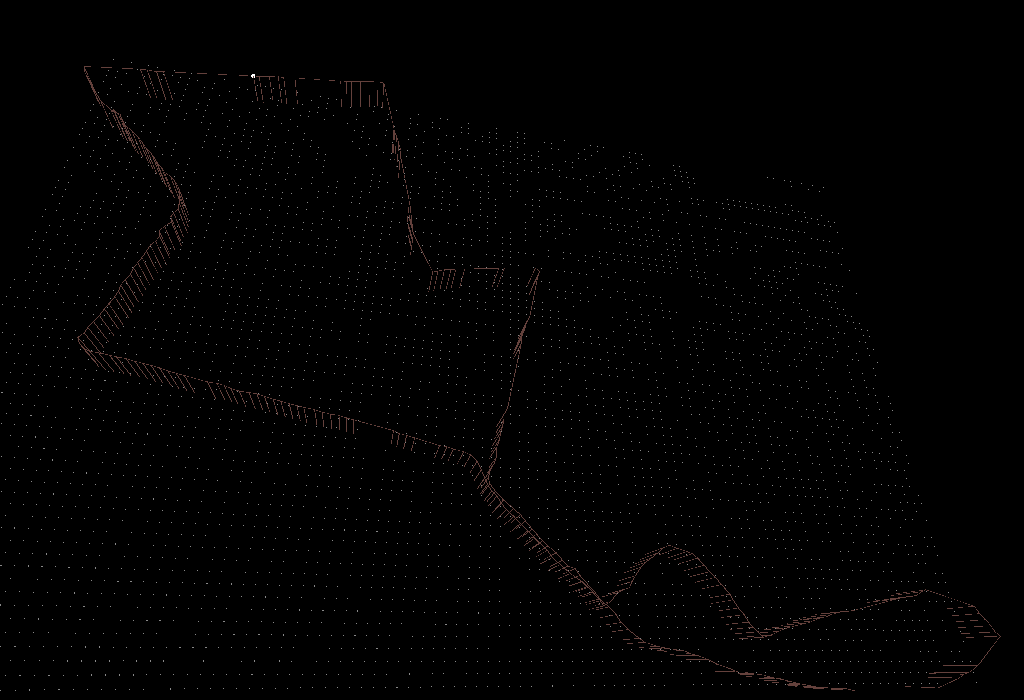
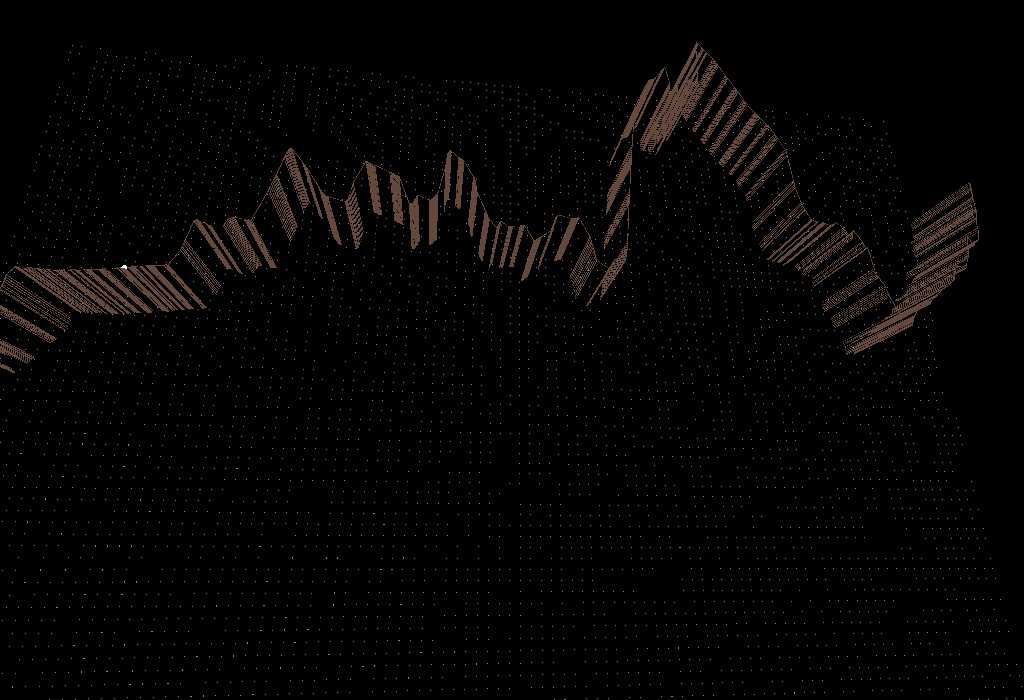
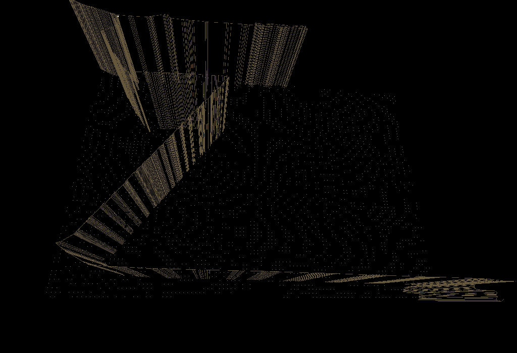
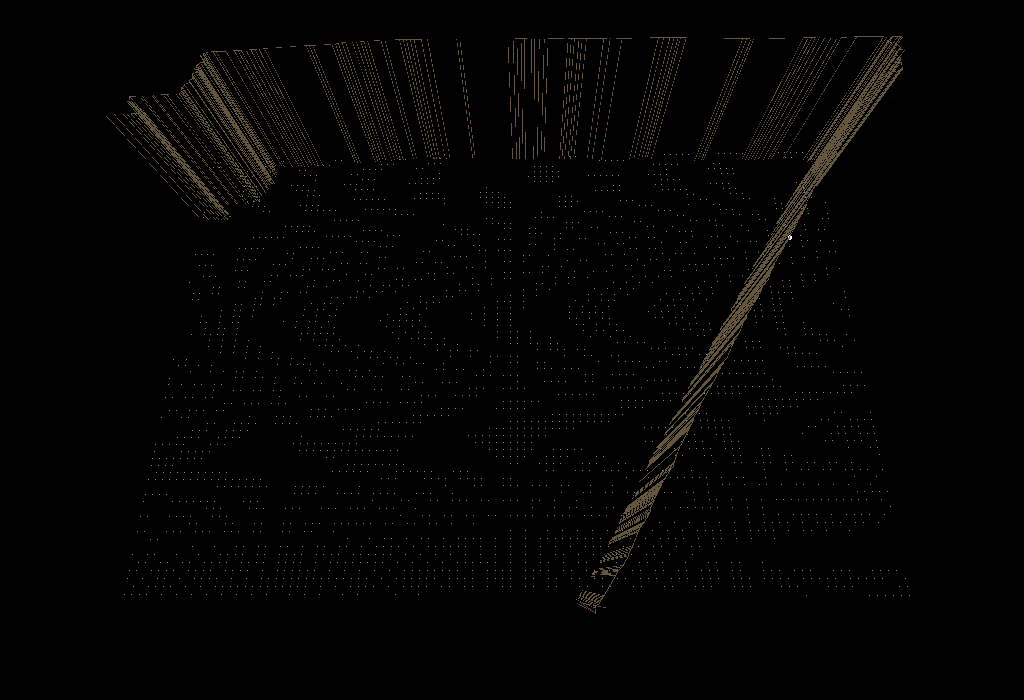
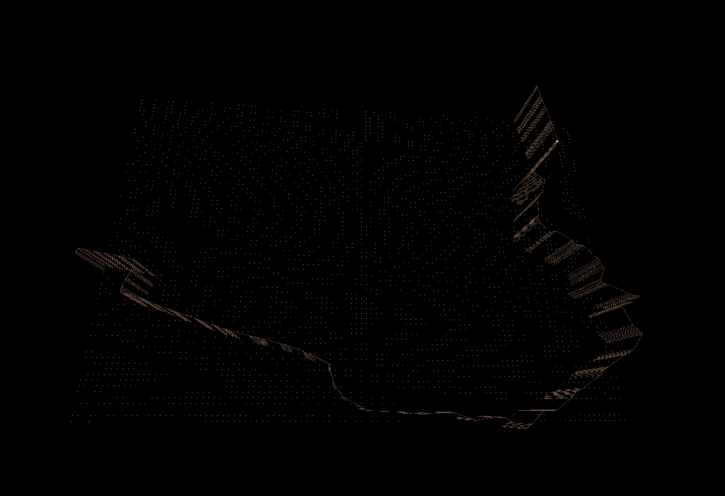
Territorial landscape is a project that links the virtual and physical space, through graphical exploration of GPS log tools. The project was based on the realization of a several routes, related to everyday practices in urban space or travels between different cities, and their subsequent translation into a three-dimensional space, from the interpretation of GPX files generated by the trips. Each file was interpreted in terms of latitude, longitude, altitude, speed and direction, to create interactive three-dimensional representations, which despite its abstraction of the reference in real life, try to maintain an experiential part of the journey, to generate different graphical outputs.
The project was implemented in several cities in Mexico and Brazil.