Participaory Cartography
workshop/collaborative interactive map2013-

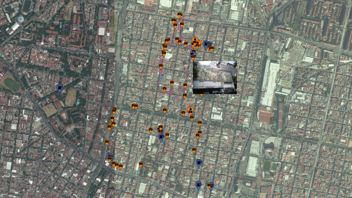
Participatory mapping is a long-term project in which teaching experiences, discussion dynamics and collaborative mapping actions mix. The project has two objectives: first, to bring the digital mapping tools to different communities, especially in marginal areas or vulnerable groups in the city. Second, to create collaborative maps that allow to visualize different problems in diverse areas of the city. The dynamics of the project comes through workshops where technical, conceptual and historical principles on cartography and urban design are taught; from this, a discussions on topics of interest to record is generated, and finally a dynamic of collaborative mapping is performed with GPS devices, resulting in a digital map.
The project has had several scenarios in Mexico City for its implementation, such as the Historic Center, the Santa Maria la Ribera neighborhood, or the Faro de Oriente in Iztapalapa, one of the areas with major social problems in the city.
Code to interpret the GPX log file can be found here.